
31.07.2025
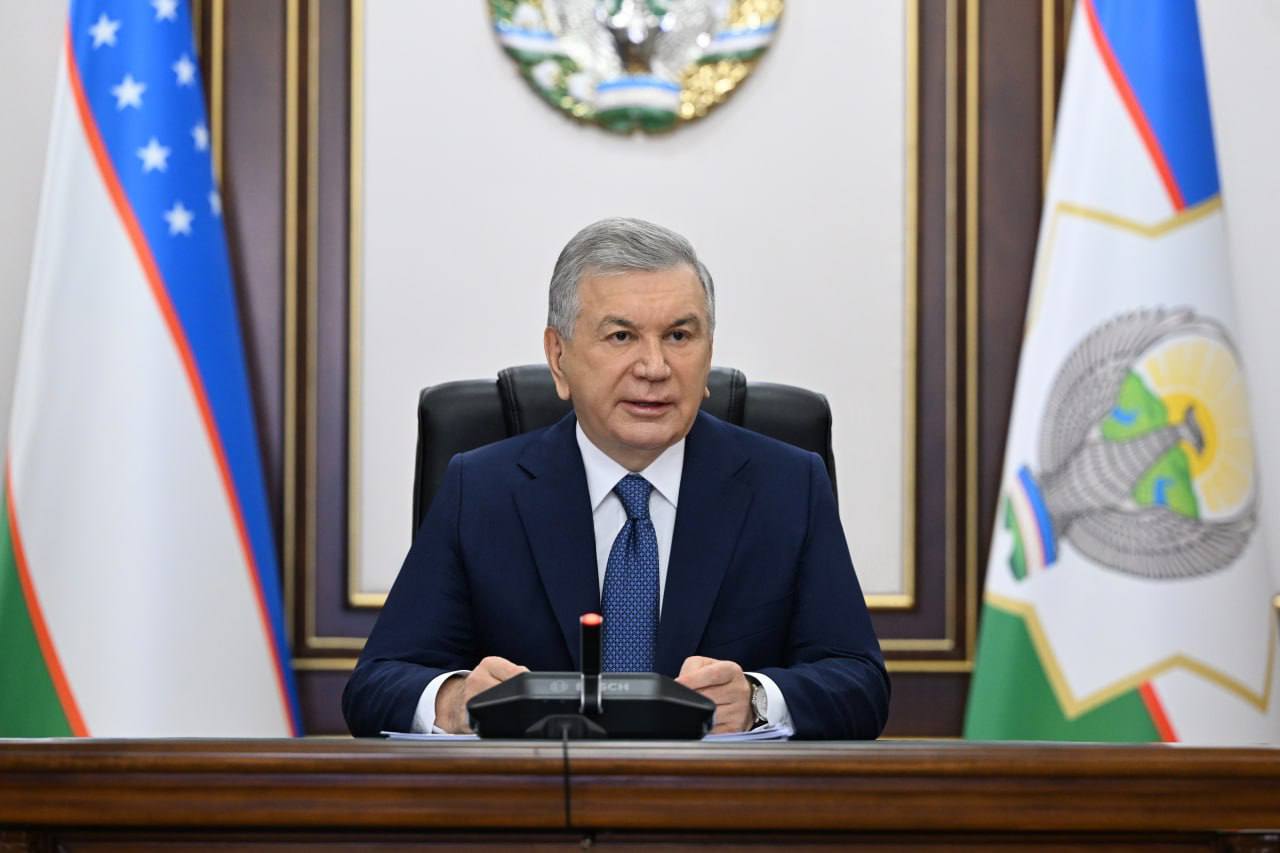
On July 31, President Shavkat Mirziyoyev held a meeting on measures for digitalization and the expanded use of space data in agriculture.
The meeting was a logical continuation of the video conference held the previous day. When addressing the issues of increasing fruit, vegetable, and food production, the Head of State emphasized the need for rational land use and higher efficiency in the agricultural sector.
The availability of accurate data and its proper analysis is of great importance. The “Uzbekcosmos” agency, established on the initiative of the Head of State, provides vast opportunities in this direction. In accordance with the decree of the President dated October 14, 2024, aerospace technologies are being introduced into the economy.
In particular, with their help it has become possible to objectively identify the real situation and existing problems in agriculture and water management. Over the past two years, space monitoring has been carried out on more than 4 million hectares of farmland. It was revealed that in some areas listed in reports as being planted with cotton, it was in fact not cultivated, while in other cases crops were sown on reserve lands or plots with unidentified owners.
In this regard, instructions were given to introduce a system of remote monitoring of the targeted use of state loans allocated for crop cultivation.
Taking into account climate change and water scarcity in the country, new drought-resistant varieties and agricultural technologies are being introduced. However, the irrigation water consumption standards currently in use are outdated and do not meet present-day requirements. The method of hydromodule zoning is also outdated, as a result of which more than 3 thousand farmers located in the lower reaches of canals are left without water.
A task has been set to completely revise irrigation standards and the system of hydromodule zoning with the involvement of research institutes in the agricultural and water management sector.
It was emphasized that there is still no accurate accounting of water consumed by farms. In this regard, instructions were given to digitize all stages of water use and introduce contour-based water accounting.
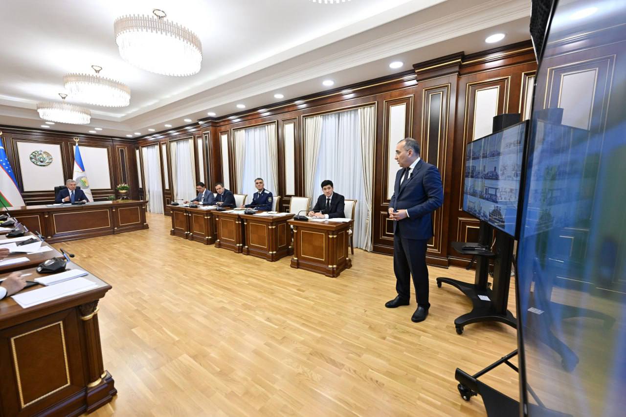
Until recently, reservoir capacity was calculated based on design data. For the first time, over the past two years, a bathymetric analysis of 60 major reservoirs has been carried out. It was established that due to siltation, the capacity of some reservoirs has decreased.
In this regard, it was instructed to install “smart” meters at all reservoirs, establish online monitoring of water volumes, and take measures to reduce siltation.
- Land and water are the question of the future of our entire agriculture, - said Shavkat Mirziyoyev.
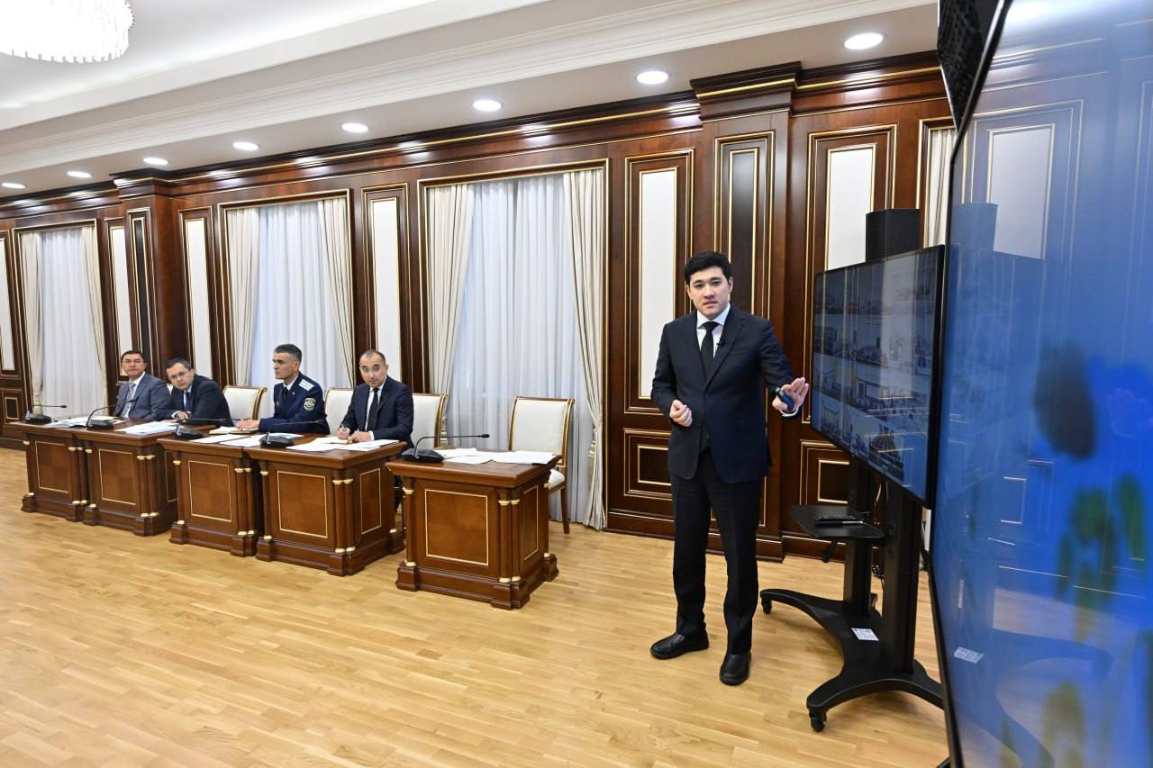
Special attention at the meeting was given to digitalization in the sector.
Today, farmers turn to more than 30 different platforms regarding land, loans, subsidies, and agro-services. To simplify their work, a unified integrated platform “Digital Agriculture” will be launched.
Farmers will independently choose what to grow on their land and will themselves enter information about crops into the platform. This will allow the authorities to forecast in advance the volumes of main, secondary, and “ninety-day” crops. This is critically important for ensuring food security, price stability, and farmers’ incomes.
Under the leadership of deputy Prime Minister J. Kuchkarov, a commission on ensuring food security has been established. Preferential loans and subsidies will be allocated to expand the production of high-demand products.
It is also planned to widely introduce unmanned aerial vehicles into the agricultural sector. Already this autumn, more than 100 modern drones will arrive in the country. Instructions were given to expand private sector participation in this field and to establish services for farmers using drones.
The need to create a legal framework for banning the burning of straw was noted.
Space data also contains important information on construction, cadastre, non-metallic mineral deposits, as well as forest and pasture lands. Ministries and local authorities have been instructed to study this data and prepare corresponding plans.

When using materials reference to www.president.uz is required
© 2026 Official web-site of the President of Uzbekistan
All rights reserved
Attention! If you find an error in the text, select it and press Ctrl + Enter to notify the administration
